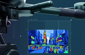
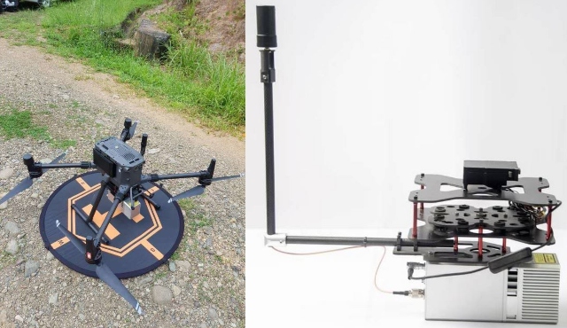
Meet the Geosun gAirHawk GS-MID40: a 3D LiDAR scanner for drones that can be used to collect high-precision point cloud data. It is designed for surveying, inspection and agricultural drones. It is ideal for drones such as the DJI M210. It comes with a measuring accuracy of 15cm. It supports up to 128GB of storage.
More gadgets like this: here
This LiDAR scanning system comes with POS and point cloud software. It measures 60 × 50 × 25 cm. You can find out more about it here.
**Disclaimer: Our posts may feature aff links. As an Amazon Associate, we earn from qualifying purchases. Please read our disclaimer on how we fund this site.







![My Loopy Social Robot for Kids [STEM]](https://www.gadgetify.com/wp-content/uploads/2018/06/20/My-Loopy-Tiny-Social-Robot-100x75.jpg)


![KamiBot: Programmable Paper Robot [Arduino]](https://www.gadgetify.com/wp-content/uploads/2015/09/14/kamibot-100x75.jpg)


